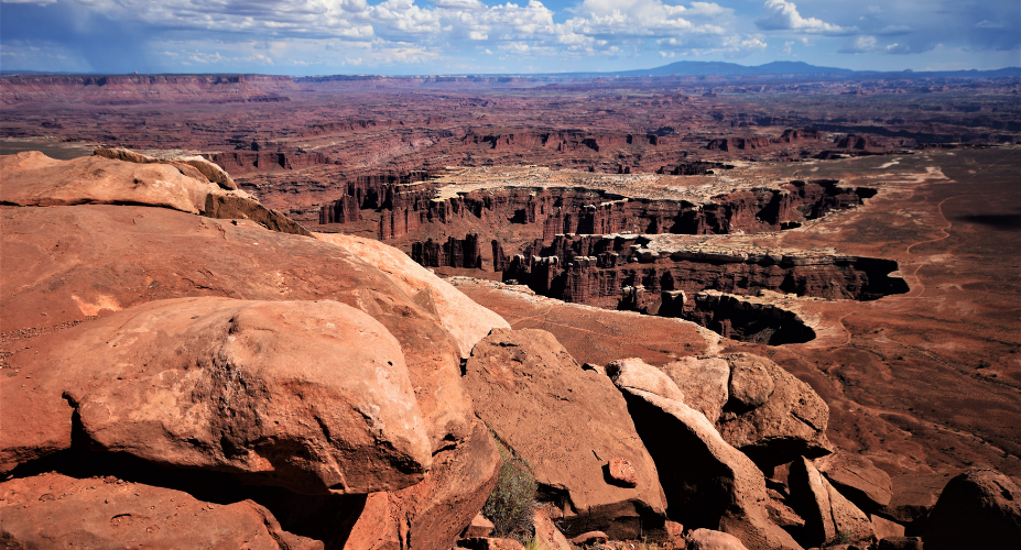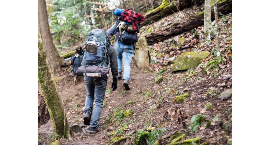
Footprints peeled off into a lonesome canyon and we followed, around bends and across sandy benches, until the canyon walls closed in and sunlight turned to shadow. We were supposed to be nearing an exit, but there didn’t seem to be any end in sight. I stopped hiking and called out to my partner for a map check.
Experienced hikers never get lost. They get off-route or miss a turn, take a scenic detour once in a while, but they don’t get lost. After years of hiking together, Tom, Jason, and I had taken the scenic route a time or two, but when we set out on a backpacking trip in The Maze, we made sure to check the map often.
The Maze District is a remote section of Canyonlands National Park. Owing to its difficult routefinding, only about 2,500 backpackers walk it in a given year. The Park Service doesn’t put up many signs out there. The roads are so bad it can take all day just to get to some of the trailheads. The trails themselves are few and hard to follow, twisting through intersecting canyons, and water is scarce. It wasn’t named by accident.
It took us four days to reach our starting point, because we paddled 52 miles on the Green River from Mineral Bottom to get there, floating under red cliffs by day, sleeping on sandy beaches at night. By the time we made camp at Spanish Bottom, past the confluence of the Green and Colorado Rivers, we were ready for whatever The Maze had in store for us. The next day we ditched the canoes and set out on foot.
About a decade ago, Tom and I had tried the same route. We’d paddled for days down the Green, stashed the canoe, and started hiking on another bright and sunny day. We didn’t pay as much attention to our routefinding back then and took a couple wrong turns. Off-course in the miles and miles of sand and towering stone, we never made it to our destination: the Harvest Scene, the most well-known rock art in The Maze. This time we reached it without incident after 10 miles of expert navigating through shady canyons and sunlit junctions. The enormous petroglyph panel stretched far above us, depicting tall, wraith-like figures painted by archaic hunter-gatherers who had once called these canyons home. They knew these canyons much better than we ever will, paper map or no.
The names in the map fell into place as we hiked onward: Ernies Country, Horse Canyon, Chimney Rock, Happy Canyon. Each correctly identified—and reached—landmark came with a renewed sense of accomplishment.
We made our way up a series of switchbacks from river to rim, where hoodoos stood sentry over a high desert expanse. Dropping back down to a labyrinth of gray slickrock, we pitched camp by a spring and crawled into our tents for the second night.
Several hours and one tree-rimmed spring into the next day’s hike we turned up a fork to begin our exit. After a half-mile or so we turned again, following a set of human footprints up a side canyon. It was our one wrong turn of the trip, but with a simple map check we figured it out quickly and backtracked. On-the-ground navigation experience and a good map are what really count in canyon country. Even The Maze is manageable if you can read the terrain and check your map often. By sunset we had climbed out of the canyon and were making camp again, this time on a high plateau with views out across red-rock wilderness to the open sands and white-capped La Sals.
The sun had warmed a little section of slickrock that perfectly curved to the shape of our backs, and we leaned up against it, spreading our gear, looking out at a long slickrock point that extended to the edge of nowhere.
DO IT Trailhead Spanish Bottom, 38.160, -109.928. River shuttle available from Tex’s Riverways ($170 per person)
Season** spring and fall**
Permit Required for all overnight stays, and a river permit is required for paddlers ($30 each)
Written by Matthew Crompton for Backpacker and legally licensed through the Matcha publisher network. Please direct all licensing questions to legal@getmatcha.com.


