Hiking in Shenandoah National Park: An Insider’s Guide
If you are looking for some amazing hiking trails and gorgeous views without the hindrance of crowds, then hiking in Shenandoah National Park might be just what you need. Think empty trails, deer practically walking up to you, and some of the most incredible views you've ever seen. Yes, a hike in this 200,000-acre park that contains 500 miles of trail should most definitely be on your bucket list, and here’s why.
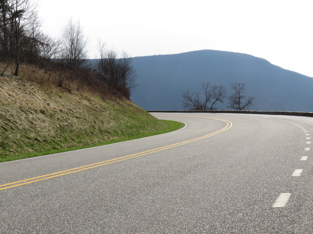
For one, the views are out of this world. The majority of the hikes start on or just off Skyline Drive, one of the most popular mountain drives in the country. This ribbon of pavement follows the natural curvature and elevation changes of the land for 105 miles, which means you're in for a real treat at almost every turn. There are mountains and valleys everywhere you look. In the fall, the entire landscape is awash in a sea of color. And, remember, this is just the approach to the trailhead.
Second, wildlife is everywhere. Deer in this protected park are not easily spooked. You'll see them grazing along the side of the road and having a snack mere yards off the trails. Turkeys are also another common sight, and if you’re lucky, you may even catch a glimpse of a black bear as they call this park home too.
Finally, the best things about exploring the trails in this beautiful park is that you get to do it in solitude. The trails here are not nearly as crowded as some other popular hikes. So, get ready for a serene and exhilarating experience .


The Tuscarora-Overall Run Falls Trail is strenuous and challenging. - Jason Devaney
There are four entrances to the park: Front Royal at the northern end, Thornton Gap (milepost 31.5), Swift Run Gap (milepost 62.7), and the southern end of Skyline Drive at Rockfish Gap. Not surprisingly, there are great hikes near all four entrances.
A fun hike in the northern section of the park is the six-mile round-trip Tuscarora-Overall Run Falls Trail, which brings you past two waterfalls. The hike starts in the parking lot just past milepost 21 on Skyline Drive. The beginning of it shares a section with the Appalachian Trail (AT) until it eventually branches out on the Tuscarora-Overall Run Falls Trail. As you make your way along the trail, you'll notice the semi-steep downhills that allow you to cruise through parts of the trail. Unfortunately for you, that means you'll have an uphill hike on the way back.
Right before you hit the three-mile point, you'll come across a waterfall that drops nearly 30 feet, but this is just an appetizer. Not far down the trail, the majestic Overall Run Falls will come into view. This 93-foot waterfall is a sight to see, and there's a great viewpoint that looks straight at it from the trail. Be sure to bring your camera.
Keep in mind there are some strenuous parts—think burning calves and lungs—on the trip back to the car. Bring some food and water with you and take it slow.
If you want to see one of the best views in the park, start at the Meadow Spring parking lot (between mileposts 33 and 34) and hike up to Marys Rock. This 2.8-mile, out-and-back route climbs up the steep Meadow Spring Trail and then hooks up with the AT for about a mile. The trail eventually turns left—it’s well-marked so you shouldn’t miss the turn— and has you scrambling up a technical rock graden for about a quarter of a mile. You'd be smart to wear a pair of solid hiking boots for this short hike because of the rocky terrain. Your ankles will thank you later.
The ascent is well worth the lactic acid, however, as you'll be treated to a view that looks north, west, and south over the Shenandoah Valley and Thornton Gap. If you're able, scramble up the rocks and take in the view from the very top of the 3,514-foot mountain. You'll see layers and layers of mountains to the far west, which are part of the George Washington National Forest.


A rock garden leads to the Marys Rock summit and an amazing view. - Jason Devaney
Another good hike—and it's a short 1.2-mile circuit—is the rock scramble to the top of Bearfence Rock. Leave your car in the Bearfence Mountain parking area between mileposts 56 and 57, and then follow the trail to the top. There are two breathtaking views, including a 360-degree vista.
Regardless of which trail you decide to tackle, it's essential to keep your eyes in front of you and pick your line because there are rocks everywhere. Small rocks are embedded into the trail surface and larger rocks stick out like ankle-breaking obstacles. Some places even have fallen trees lying across the paths.
Another thing to keep in mind is this: Many of the routes borrow real estate from the 2,190-mile AT. So as you're walking along these trails, it’s fun to think about how many others have taken the same steps you're taking. According to the nonprofit Appalachian Trail Conservancy, more than 15,000 people have hiked the entire length of the AT. The organization estimates that upwards of 2 million people hike some portion of the trail each year.


Skyline Drive winds 105 miles through the park. - Jason Devaney
